Mountain Guide Hiking and Trekking in Asturias. De Monte Por Asturias , it offers you a guide with the routes of the main mountains, hiking and access
 Version
2.60
 Package Name
com.pasuapasu.demonteporasturias
 Category
Travel
 Size
11.79MB
 Release Time
August 9, 2025
Mountain Guide Hiking and Trekking in Asturias.
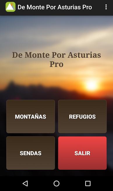
De Monte Por Asturias , it offers you a guide with the routes of the main mountains, hiking and access to the shelters of Asturias and border provinces, both for your mobile device and Android tablet.
There are three clearly differentiated sections:
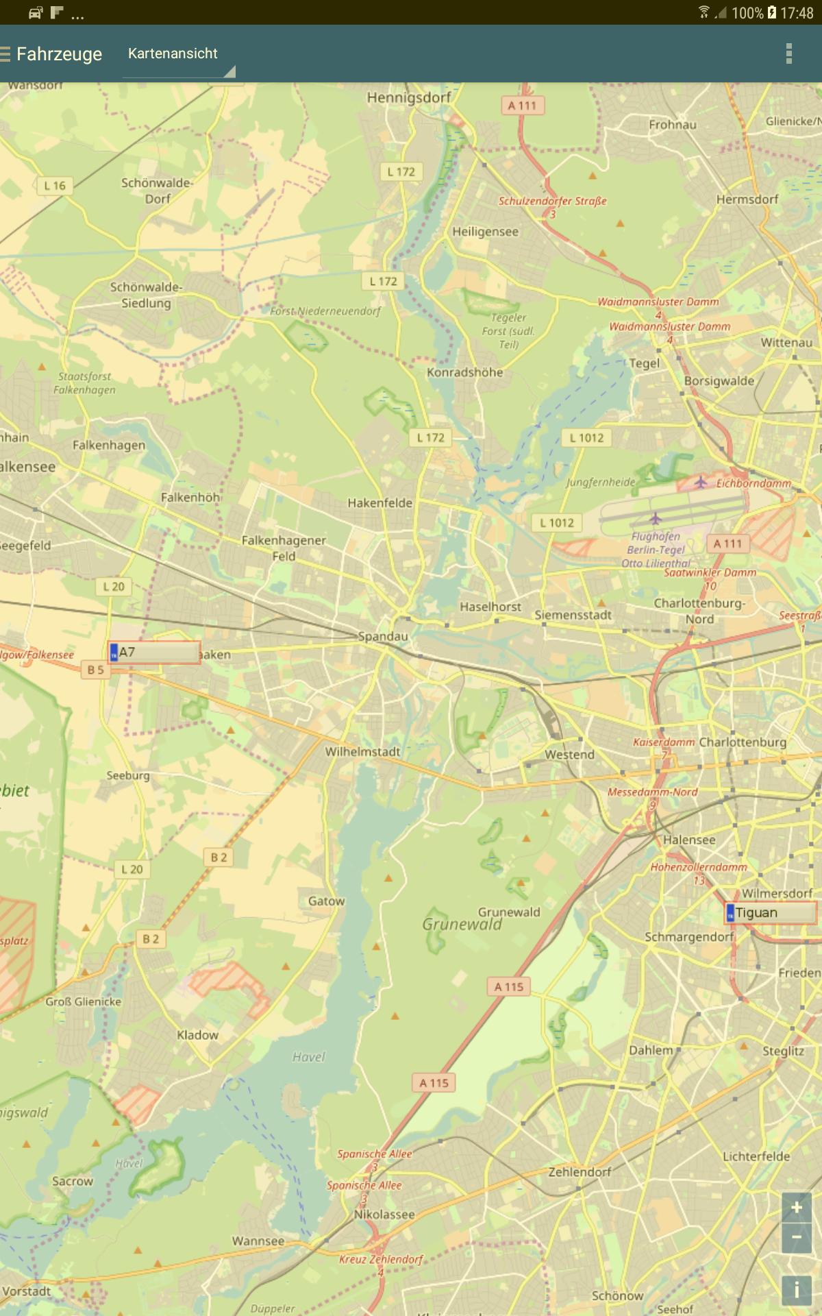
- Mountains: The objective of this section is to show a series of data of each mountain, such as the coordinates of the top, altitude, prominence, etc., and the most common routes or routes to access the summit. This route is a new section in which a brief description of it is offered, indicating the unevenness, duration, length, etc., a small gallery of images and an online viewfinder with the map and route made.
- Shelters: The goal is to show unifiedly, the main characteristics of each shelter, such as the number of places, their coordinates, contact information, etc. And in addition, the main route to get to him. This route is a new section, where it is described in a similar way to how it would be done on a mountain route, showing a brief description of it, a small gallery and an online viewfinder with the proposed map and route.
- Hiking paths or routes: the unified information of the route in question is shown. Among others, duration, unevenness, length, start/end place, etc. In addition, there is a section to show a small photographic gallery and an online viewfinder with the proposed map and route.
Currently, there are a total of 102 divided routes as follows:
- 68 mountain routes
- 24 Hiking Routes
- 10 routes to access the main mountain shelters of Asturias and border provinces.
There are routes that run throughout the Asturian territory, from the West to the East.
The application is not intended to use as a GPS browser, mainly because the maps require network connection.


